News
ON TEST: Will Apps Replace Chartered Surveyors?
As a specialist measured survey company, PRE decided to see whats out there and if these will supersede what we can provide clients.
We regularly hear the word “PropTech” but what does this actually mean for the property profession and measured survey industry.
From speaking to a handful of Chartered Surveyors, majority still use paper and pencil, if it works why change?
The RICS advises best practice that all site surveys are documented. To take more measurements and photos than needed for future reference.
Chartered Surveyors need to be able to measure properties for various reasons, including Valuation, Lettings, Sales and redevelopment. Its part of the RICS APC Syllabus for commercial and building surveying routes.
Being up to date on your Professional development on the RICS Code of Measuring Practice, International Property Measurement Standards (IPMS) is vital.
However when was the last time you actually measured a commercial property? and if you did, where you confident and more importantly accurate?
So will these Apps replace a draftsman or surveyor? Measuring properties on a regular basis, having experience and more importantly Professional Indemnity which lenders require for reliance upon may argue NO?
PRE test runs onsite using the latest measured survey Apps, heres our review and rating out of 5?
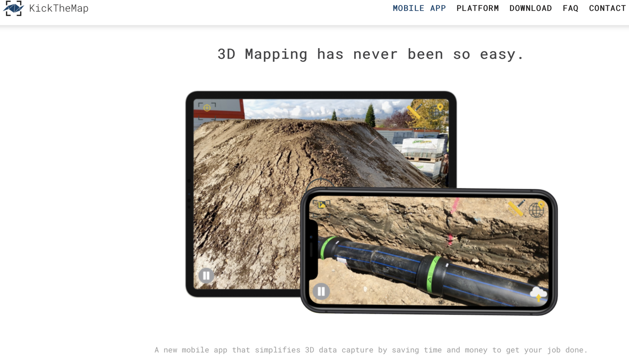
KickTheMap **
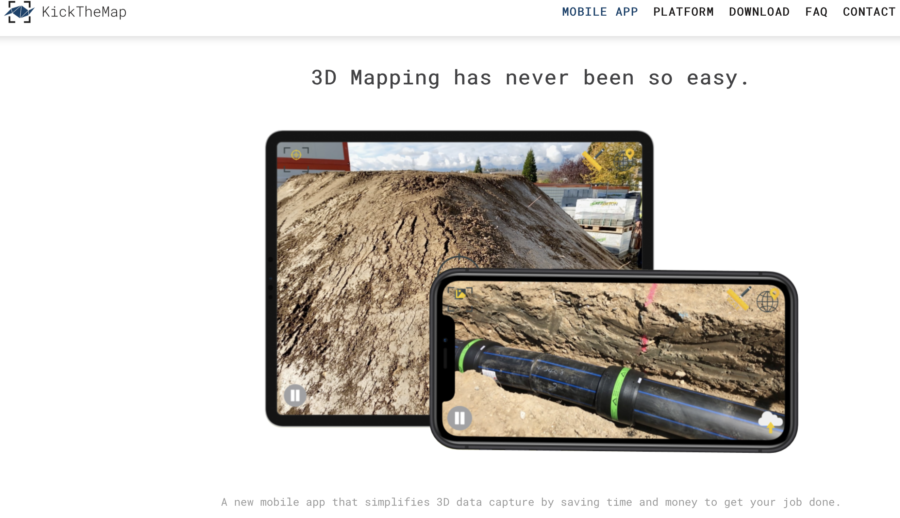
The mobile app allows users to capture data in their environment and upload them to the KickTheMap cloud. After processing time, the 3D model is delivered on our web platform (my.kickthemap.com) and the user is notified by email. Every user has a secured access to all its 3D models.
Delivery time mainly depends on the amount of uploaded data, but projects containing less than 1000 pictures have a guaranteed delivery time of 24 hours.
Easy interface to use, with a very simple UI so the time it would take to get used to the App would be minimal. However, it is extremely slow to upload the data. 1 room which consisted of approximately 150 images took around 2hours to upload. Once it was uploaded I was emailed saying that the images were too dark and therefore unusable to be converted.
We tried two more times in brighter rooms, and less images to reduce the upload time slightly. However again they were apparently too dark, and it says it is intended for outdoor use. Because we had used our 3 free trials (unsuccessfully) we were not able to see the output of the upload.
However, because it has to be used in well lit areas (outdoors), and because of the long upload times, we do not think it is particularly suitable for us. As surveys are often in poorly lit environments like basements and plant rooms. Furthermore, if one room took a couple of hours to upload, a 4 floor building would take a considerably longer time to upload than our traditional method.
we are still awaiting their costing structure (as you have to request it) however it is either a monthly subscription which gives you 5,000 images or a pay-per-use model.
MagicPlan ****
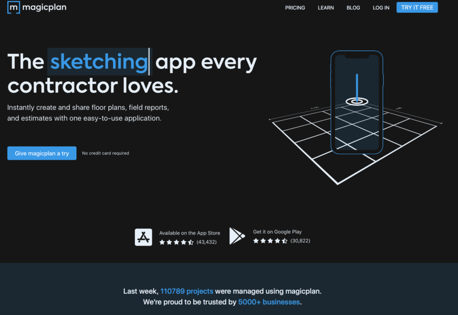
We requested a demo from MagicPlan and still waiting for a reply. There are 4 pricing plans one free one, a $9 and $19/month and a tailor made plan. The free plan allows floor plans to be drawn in AR, which might be a useful alternative to scanning angled buildings. We cannot see any indication that it has some form of automation like it suggests on the website. Dimensions are taken and labels can be added stating areas, but it does not say how those areas are calculated.
OrthoGraph **
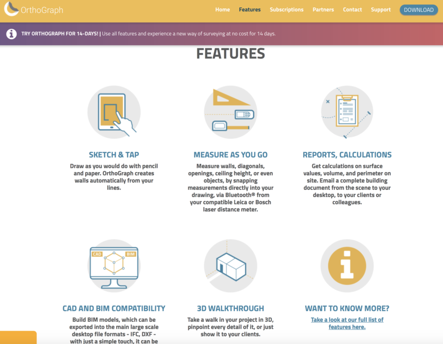
The OrthoGraph I is a building survey and floor plan creation application for iOS and Android, developed in Hungary. It handles both structured alphanumeric data, and measures and handles all drawings real time in 3D
This App looks like one of the more promising options as it allows a combination of AR and bluetooth distos to create the floor plans. Reports can be calculated from onsite and are emailed directly to yourself. In theory Summary of Areas would be done at the same time as the onsite inspection. We had a 14 day trial however have had some technical issues.
Orthograph’s most basic package is $300/year ($29.99/month) but there is a tailor made plan that is suggested for business use.
Matterport Capture ****
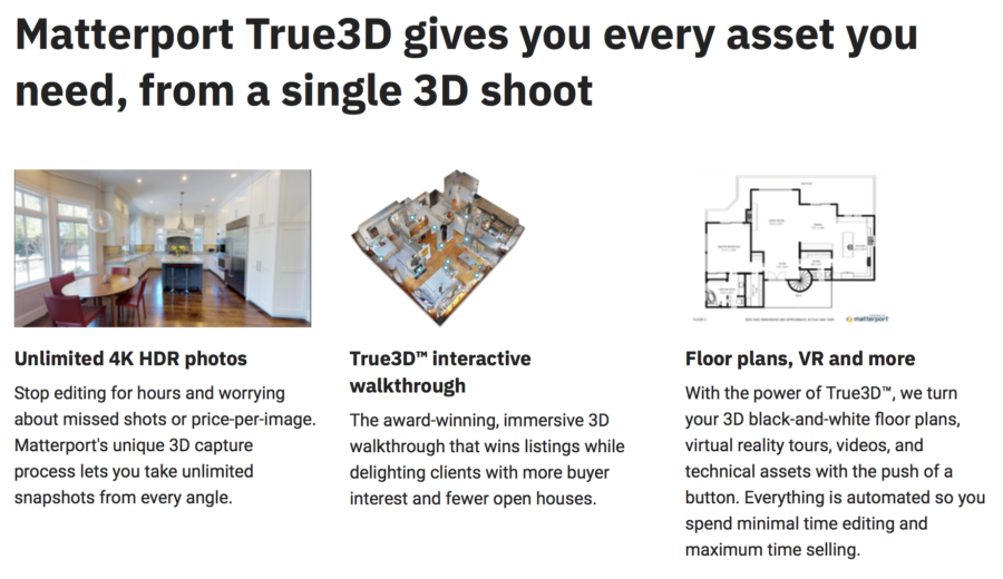
The Matterport Capture uses either the iPhone camera (at reduced accuracies) or is compatible with 3D cameras and certain scanners (not ours). Currently it is only available on iOS devices so we would be unable to use our current tablets. It is predominantly used for visualisation rather than for plans etc. Although there is a dimension tool there is no way to function to create reports like Orthograph.
Rooms need to have coloured, positioning, such as bright furniture such as red sofa, pictures to orientate itself. Outside with moving items such as trees, cars or people makes the software confused.
There is a free price plan, (which only allows 1 user and 1 device), and does not really seem to offer much. The priced plans go from £7.99 – £247/month, each offering additional users up to 20. Currently using the iPhone as the sole data capturer is in beta so is not properly developed yet. But we don’t think it is quite what surveyors are looking for at the moment. Unless you use it for visualising spaces? Which might be useful for investment or letting agents, sales.
Conclusions
A concern is where we exclude areas in accordance with the RICS code of measurements for example areas under 1.5m, heating apparatus etc. Although it seems quite simple it is actually quite complex to include something in a Gross Internal Areas (GIA) but not in the Net Internal Areas (NIA), knowing where and when it is applicable is something our human brain does better than a computer. None of the Apps had this feature.
You need to be certain that if you decided to use one of these apps that they are first accurate for purpose, quick enough that it negates the time it would take for us to measure and draw traditionally, and developed enough that we constantly be having issues with things crashing etc. Even with the AutoCad App on the tablet there are some issues, and AutoDesk is a massive organisation!
To conclude PropTech solutions are there to support and not replace. Ultimately feeing up time for where surveyors add most value! You still need a human to know which areas onsite needs measuring and how much data really needs to be captured. The apps certainly help after you have practiced mastered these.
But would your time be better spent doing what your specialise in, not spending days onsite measuring a property which isn’t cost affective with your time?
If you have any other questions, or any projects you would like us to look into please do contact one one of our leadership team.