Projects
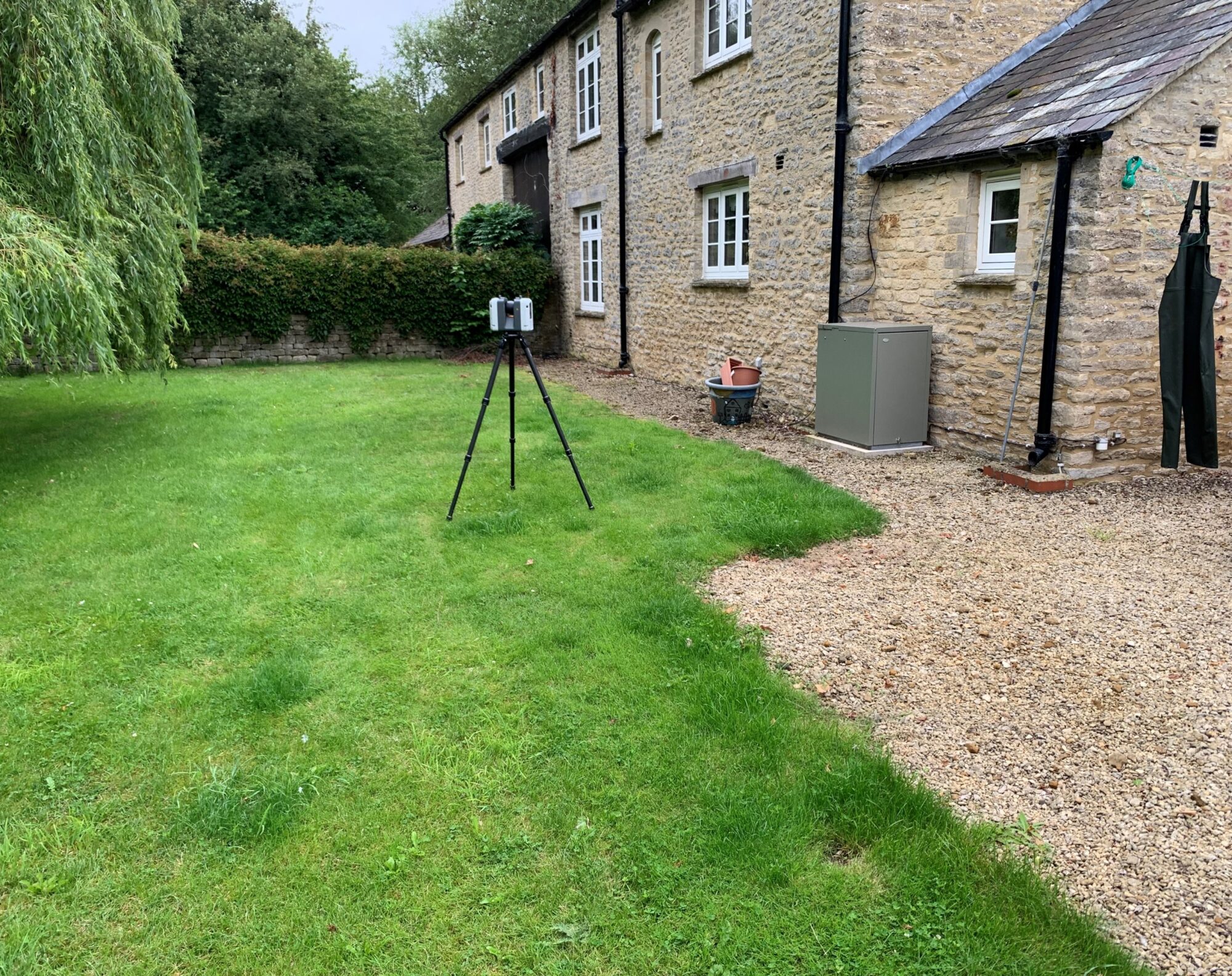
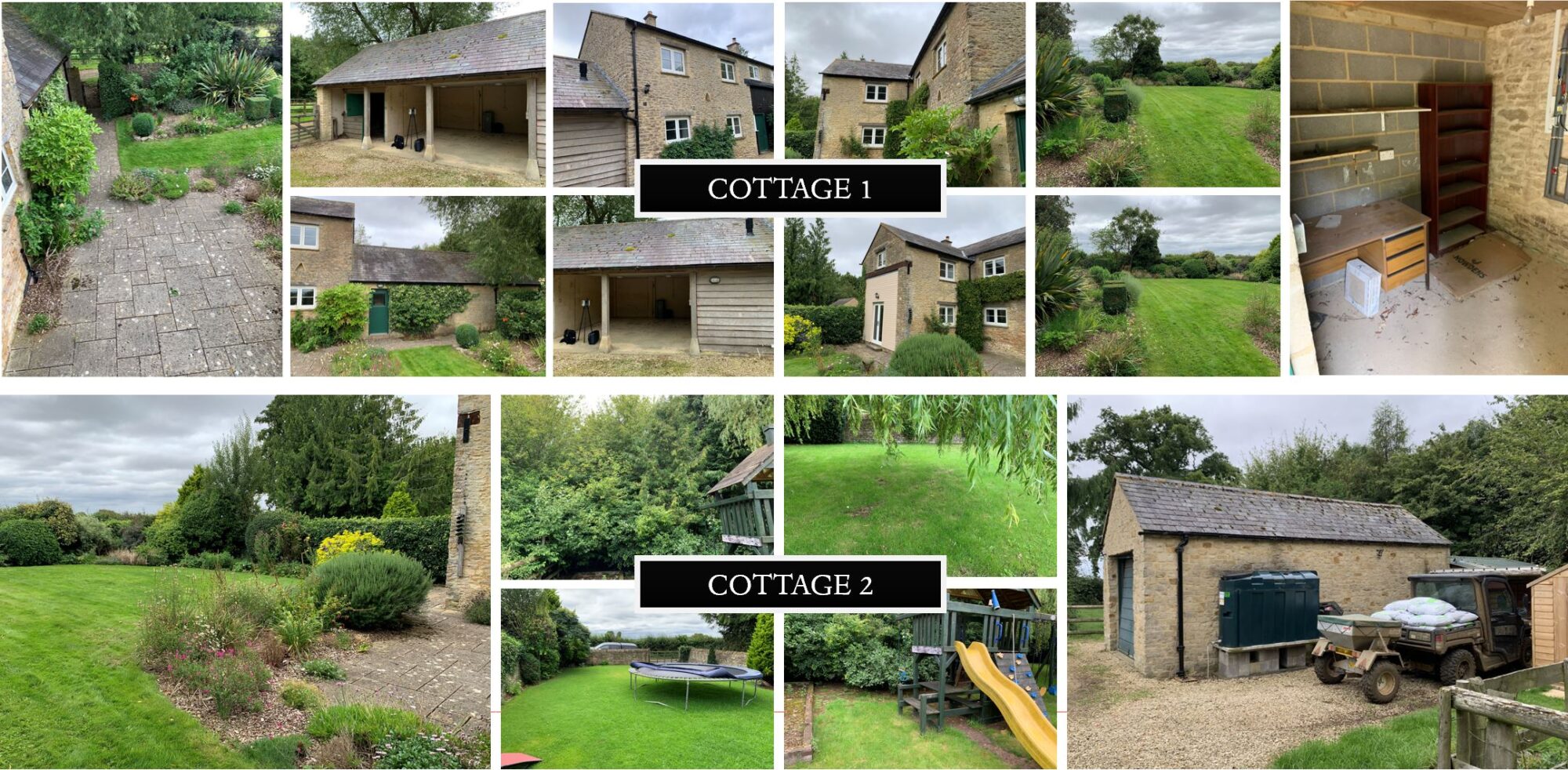
Farm Cottages – Topographical and Utility Survey

What is a Topographical Survey?
A topographical survey is a detailed and accurate representation of the features and contours of a piece of land. It involves measuring and mapping the terrain’s physical characteristics, such as:

Topographical surveys are essential for various applications, including construction, land development, environmental studies, and land use planning. They provide the necessary information for architects, engineers, and planners to make informed decisions about design and development projects.
What is a Utility Survey?
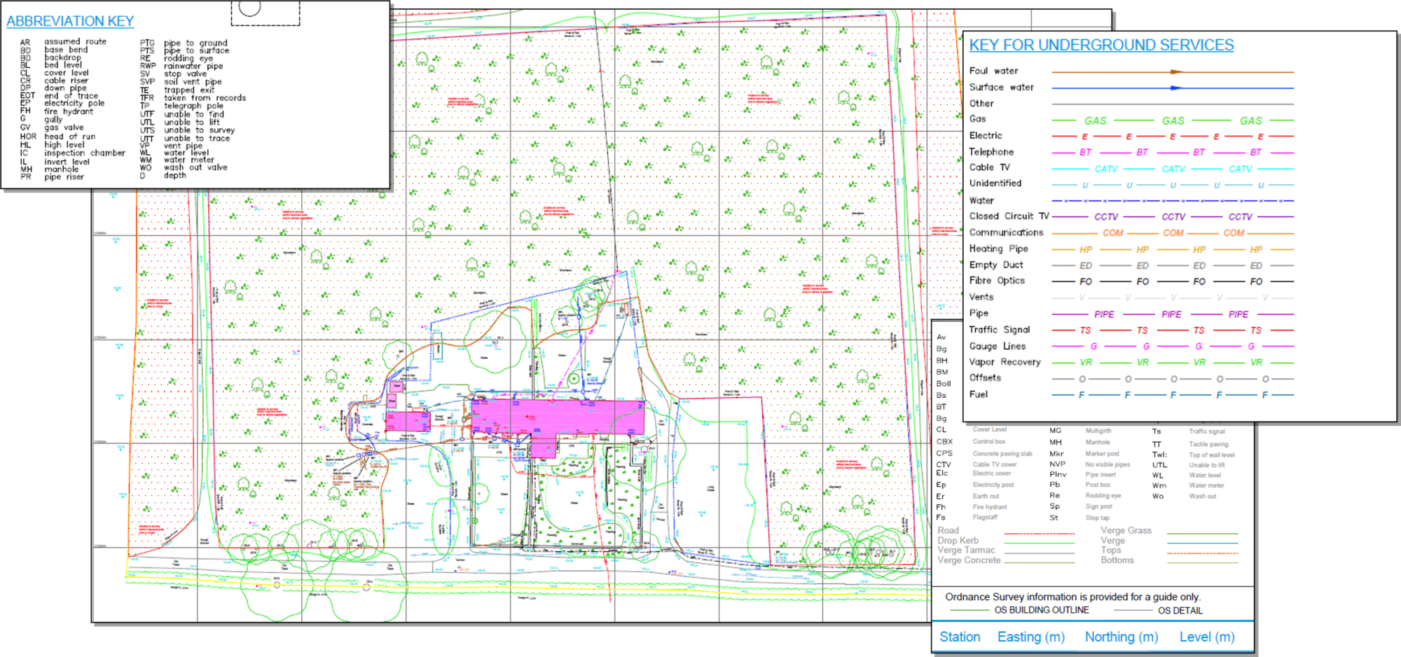
A utility survey is a process used to locate and map underground utilities and infrastructure, such as water, gas, electricity, telecommunications, and sewer lines. This type of survey usually includes:

Utility surveys often use techniques like ground-penetrating radar (GPR), electromagnetic locators, and other technologies to accurately identify the location and depth of utility lines.
What is the difference between the Topographical and the utility survey?

About the Rectory Farm Cottages Project

About the Rectory Farm Cottages Report
