Projects
Hammersmith Town Hall
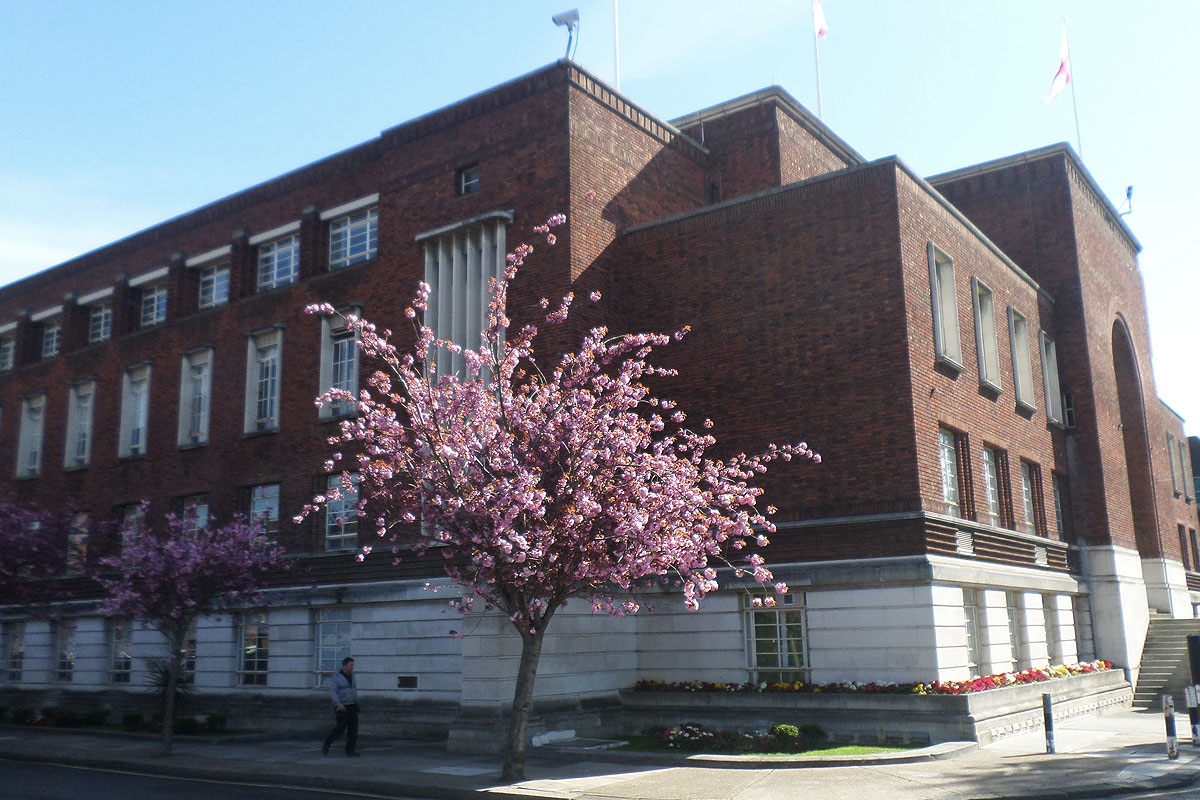
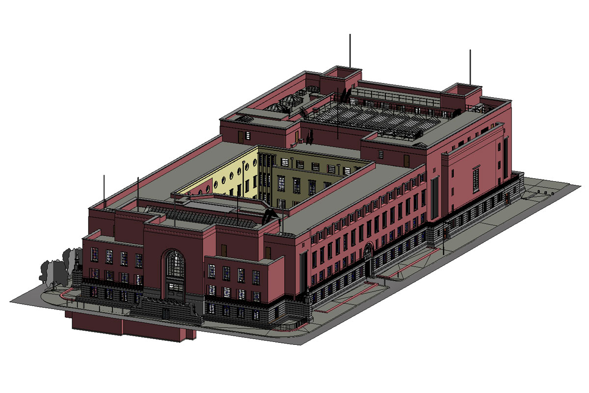
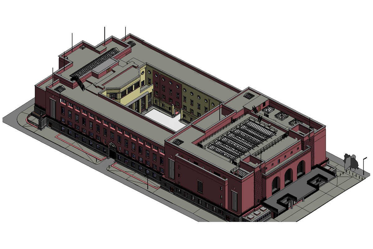
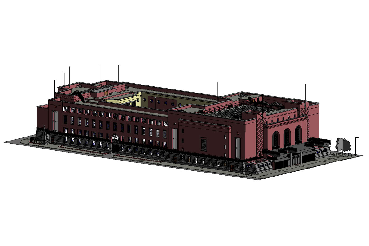
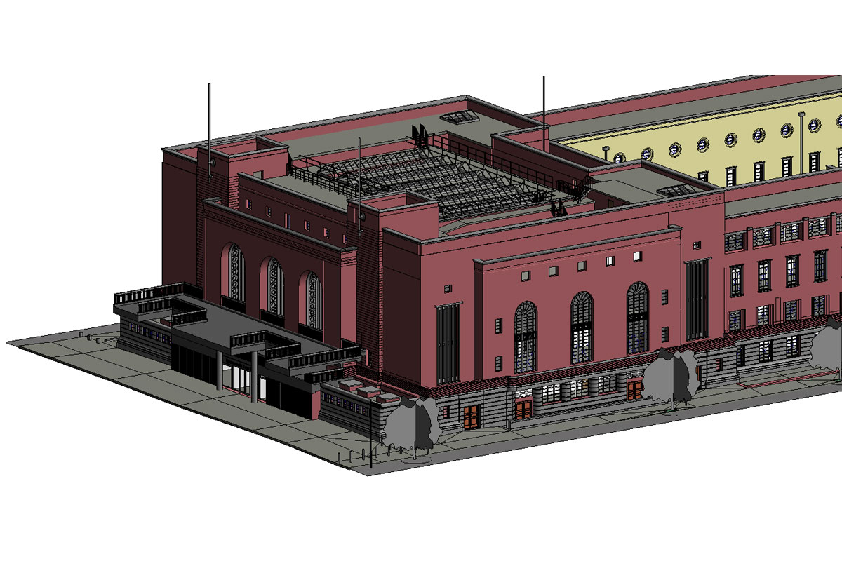
Our client was looking to refurbish the property. To facilitate this, our specialist team was instructed to produce a 3D Revit Model. Our scope of works was to establish the planimetric and vertical control for the property and property boundaries in reference to a Global Positioning System. The execution of a detailed 3D survey to dimension and coordinate the internal face of the Boundary and Party walls and ascertain the exact property boundary, at each level from the basement to roof level.
“PRE Chartered Surveyors conducted a very professional service, from their site inspection to work produced in office. Whilst they were onsite for 10 days, there were non-intrusive and adaptable with inspecting certain areas at specific times.” London Borough of Hammersmith & Fulham
The execution of a detailed 3D Survey of the entire building, to all levels and an undertaking an outline survey to dimension and co-ordinate exterior and internal faces of the external and internal walls, wall thickness, partitions, beams, columns and any other permanent enclosures, including the plan location of all edges, steps, depressions, pits, sumps, drains and any other elements which may be an integral part of the existing floors.
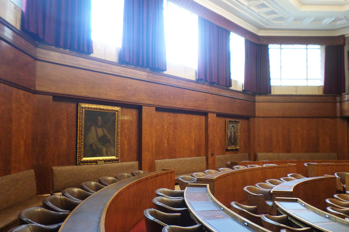
Detailed survey of external elevations including building elevations, 10 meters either side of main facade, Boundary and Party walls, showing parapets, reveals, courtyard, lightwells, external shafts, parapets decorative elements, signage etc. The survey was to extend over the entire site. The survey was to be related to the Local Grid, in accordance with Section 1.0 “Planimetric Control” and to Ordnance Datum Newlyn, in accordance with Section 2.0 “Vertical Control”.
