Services

Land and Environmental Surveys

Delivering the accurate certainty you need. PRE Chartered Surveyors’ due diligence practice supports companies and investors in identifying and managing Environmental, Health and Safety (EHS) and energy and sustainability issues that can significantly impact CAPEX and operational costs, as well as create reputational risks, divert management resources and reduce asset values.

We examine all issues, no matter how technical and complex, and report back in clear commercial terms. We then give easy to understand instructions and implement action plans to correct any concerns identified.

Nationwide, mobile and fast

Our environmental due diligence specialists are able to cover the whole of the UK.  Whether clients are planning a small transaction on a single building, a multi-site multi-regional property portfolio transaction, or a large corporate acquisition, we can help by providing insightful due diligence consultancy that supports decision making and facilitates deals. We know that tight timelines and confidentiality go with the territory and we have built a reputation for quickly mobilising resources.

Unparalleled breadth of expertise

We provide a full range of due diligence services for vendors and purchasers, ranging from pre-divestment reviews, Phase I and II investigations, hazardous materials/asbestos assessments, energy consultancy, speciality technical due diligence, integrated building surveys and post-acquisition/merger integration support and more. 

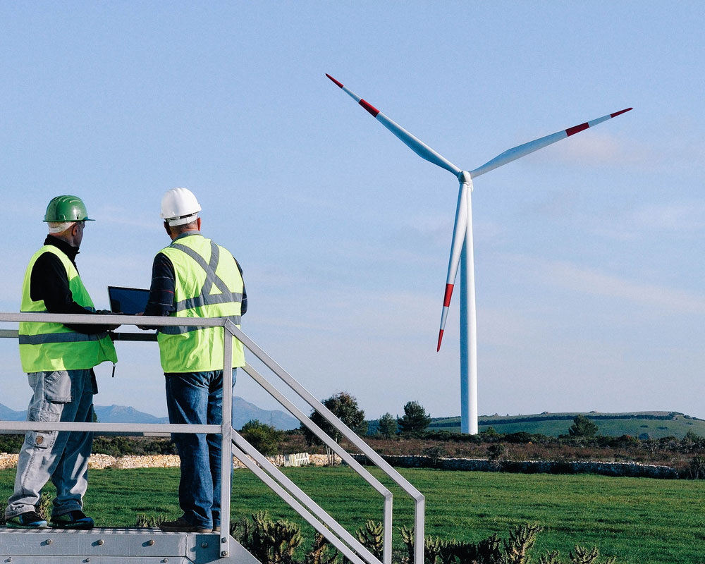
In addition to our EHS specialists, we offer industrial process and infrastructure expertise and provide technical evaluations of technologies that can be applied to various industries, including the renewable energy and waste sectors. 

PureRES Land Environmental

Land and Environmental Services

3D Laser Scanning
Leveraging the latest 3D laser scanning technology, we create accurate proximity data, a cost-effective, safe and quick option where conventional methods cannot be used. Laser scanning offers several advantages over traditional survey methods. We employ state-of-the-art 3D laser scanning technology to capture accurate site data in order to compile reports to fulfil your needs for a diverse range of purposes.
Topographical Land Surveys
Making development ambitions happen. We provide topographical surveys using experienced and qualified surveyors and the latest and most accurate Leica high definition laser scanning and data capture systems. Surveys – which provide a bird’s eye view of a planned construction site – are used for many purposes and may be specified to provide various levels of data granularity, according to your requirements and specifications.
Utility Land Surveys
When carrying out any kind of ground excavation work, it is crucial to know where the underground utilities in the area are located; the most inexpensive and hassle-free way to gain this information is by commissioning a Utility Report.
Boundary Surveys & Disputes
PRE Chartered Surveyors, at all times, maintains the highest standards of professionalism and integrity in all that we do, including our communications with, clients, colleagues and the public. These standards apply to communications that are verbal, written and electronic.
Drone Surveys
We provide a unique blend of aerial mapping and land planning expertise to produce detailed site assessment, terrain modelling and hydrology assessment. We also provide roof inspections, aerial photography and filming services giving you more information which may not be possible from the ground.
Transport Statement Assessments
The National Planning Policy Framework states that all developments that generate significant amounts of movement should be supported by a Transport Statement or Transport Assessment and submitted with a planning application for the development. It will then be used to determine whether the transport impact of the development is acceptable.

Related Projects